
How we make a difference
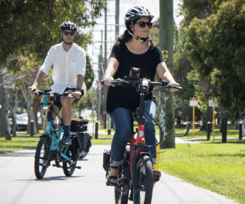
With the help of nearly 50,000 members nationwide, Bicycle Network is making it easier for everybody to ride a bike, every day.
ADVOCACY
MEMbership
BEHAVIOUR CHANGE
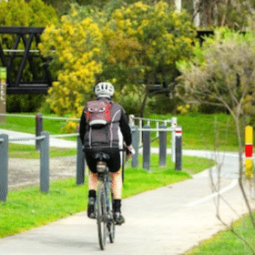
Services
EVENTS
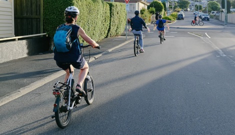
Latest bike riding news
Whittlesea wants congestion whittled away
Rapidly growing suburbs in Melbourne’s far north are already being squeezed by traffic congestion even though the region is only partially developed and the many...
Nillumbik looks for transport solutions
The rolling hills of Melbourne’s north-eastern bushland suburbs is where many Australian nature lovers make their home, but when it comes to getting around the...
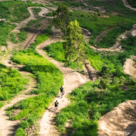
Rainforest MTB park opens in Queensland
The first stage of a world-class mountain biking attraction has had it’s official opening, inviting thrill seekers to test their skills in a subtropical rainforest...
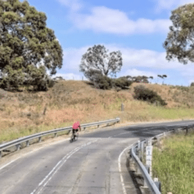
Torquay to Geelong link on the horizon
Work will soon be underway to investigate a future bike link from Torquay to Geelong.
… want to hear more?
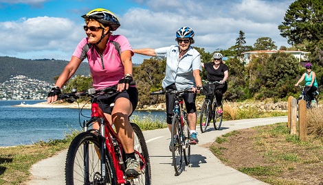
Time to get on your bike
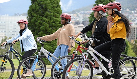
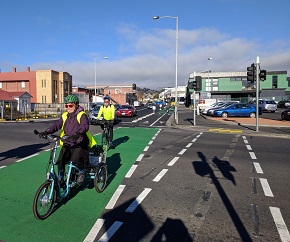
From social rides to self-guided tours, we are happy to share the wonderful cycling experiences Tasmania has to offer.
Back on your bike helps people to start riding again with a skills refresher, basic bike maintenance and group ride.
Join one of our Bike Week activities
Get active, have fun and connect with your local bike riding community during Tasmanian Bike Week.
Check out what else is happening in your state
Join the team
Volunteer with us
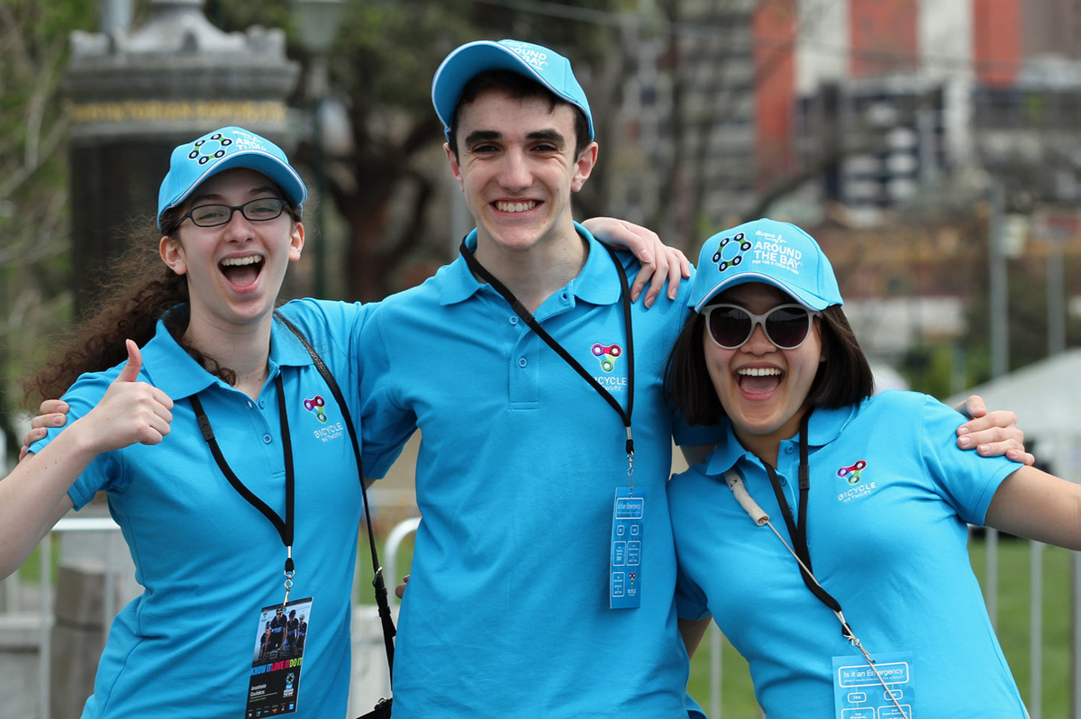
Volunteer with us to help make bike riding easier.
Whether you join us in the office, or out on one of our iconic events, you’ll learn new skills, build great relationships and play a role in building a nation of bike riders.
Learn moreBecome our friend
Find out more about Bicycle Network and support us in making it easier for people to ride bikes.