
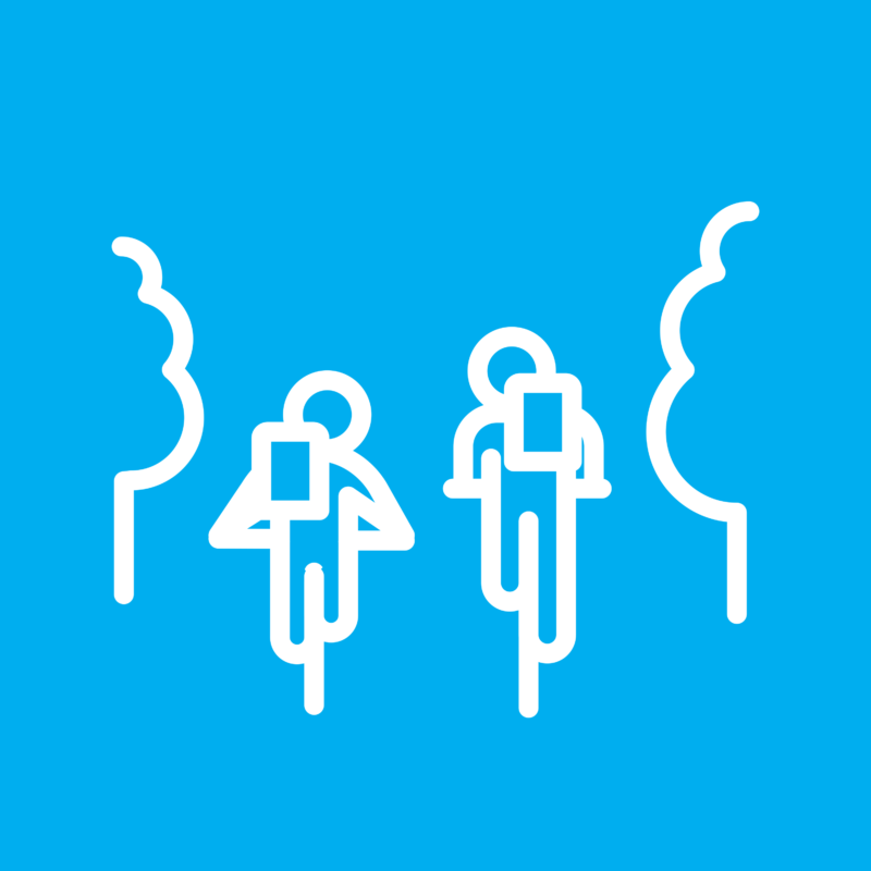
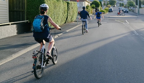
How we make a difference
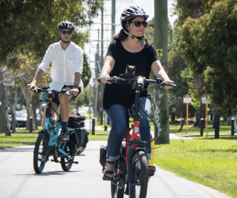
With the help of nearly 50,000 members nationwide, Bicycle Network is making it easier for everybody to ride a bike, every day.
ADVOCACY
MEMbership
BEHAVIOUR CHANGE
Services
EVENTS
Latest bike riding news
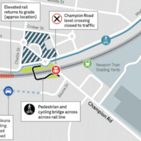
Feedback sought on Newport level crossings
Further feedback is being sought on the solutions to the level crossings closures and removals in Newport.
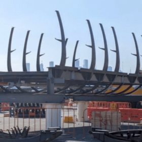
Veloway gets underway
Giant segments of the dramatic elevated veloway between Footscray and the Melbourne CBD will be lifted over the roadway by crane as construction starts in...
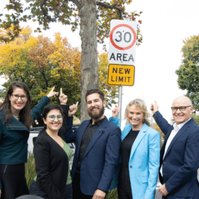
30km/h speed limits expand across Fitzroy and Collingwood
Yarra City Council has expanded its trial of 30km/h speed limits, which will now apply on all streets across Fitzroy and Collingwood other than major...
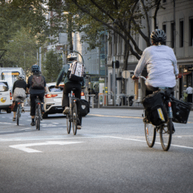
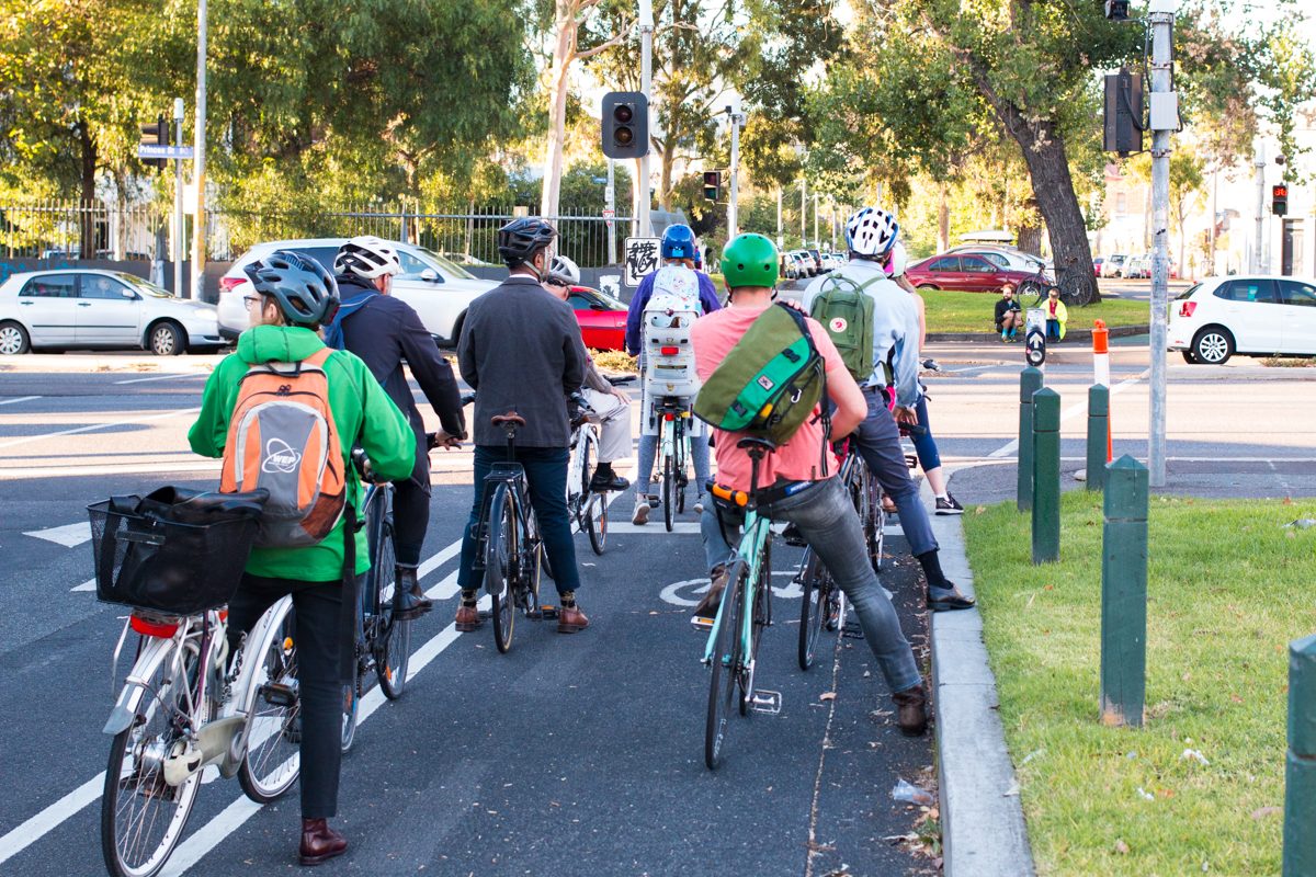
More action needed on road safety for bike riders
Better enforcement of dangerous driver behaviour, including citizen reporting, and reduced local speed limits, are some of the key recommendations of the Victorian Parliamentary Inquiry...
… want to hear more?
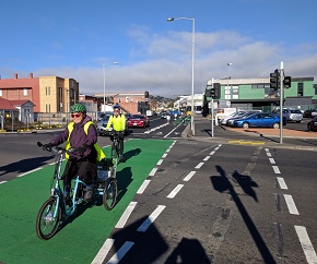
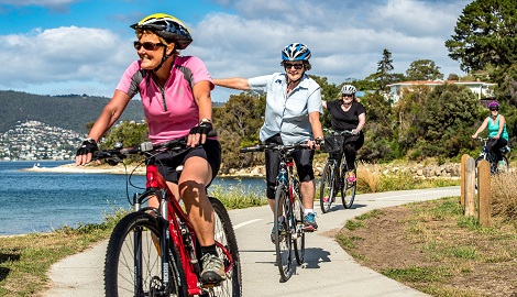
Time to get on your bike
From social rides to self-guided tours, we are happy to share the wonderful cycling experiences Tasmania has to offer.
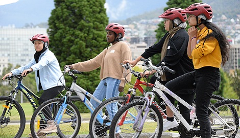
Back on your bike helps people learn to ride again with a skills refresher, basic bike maintenance and group ride.
Join one of our Bike Week activities
Get active, have fun and connect with your local bike riding community during Tasmanian Bike Week.
Check out what else is happening in your state
Join the team
Volunteer with us
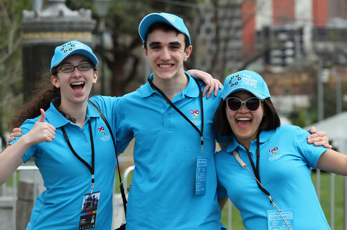
Volunteer with us to help make bike riding easier.
Whether you join us in the office, or out on one of our iconic events, you’ll learn new skills, build great relationships and play a role in building a nation of bike riders.
Learn moreBecome our friend
Find out more about Bicycle Network and support us in making it easier for people to ride bikes.